
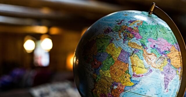
The United Nations voted Friday to promote reworked map projections that enlarge Africa’s appearance, a symbolic but significant move in a long-running campaign against the 16th-century Mercator projection—still the most widely used world map. The resolution, which backers say will “more accurately reflect the true size of continents,” passed with the United States casting the sole dissenting vote.
According to the U.N.’s own report on the vote, the U.S. dismissed the “correct the map” initiative as part of a “radical ideological project.” The resolution is non-binding, as the BBC notes, but it will push institutions worldwide to adopt new mapping standards.
A Landmark Vote on Map Projections
The initiative, driven by African nations, aims to counter perceptions that the continent is peripheral. Under the new projections, the U.S., France, and Russia appear smaller relative to African equatorial countries, which have applauded the move as righting a historical wrong and soothing hurt feelings.
Six countries—Estonia, Georgia, Lithuania, Moldova, Serbia, and Ukraine—abstained from the vote, while the rest of the General Assembly backed the resolution.
The Mercator projection, created in the 16th century for nautical navigation, has long been criticized for distorting the relative sizes of landmasses. It shows Africa as being roughly similar in size to Greenland, even though Africa is actually about 14 times larger. Critics argue this distortion minimizes the development needs and potential of countries near the equator.
Campaigners Cheer, U.S. Objects
Online campaign group #CorrectTheMap, which has been at the forefront of the push, said in a statement reported by the BBC: “You could fit the United States, China, India, Japan, Mexico and much of Europe into Africa and still have land to spare.”
But Yaryna Ferencevych, a U.S. representative at the U.N., sharply criticized the resolution, accusing it of mocking the body’s purpose. “Instead of focusing on genuine problems of international peace, prosperity, or good relations, this body is debating map projects from the 16th Century, and their role in promoting reparations and ‘cognitive justice,’” she said, lamenting the move.
The U.S. has been increasingly isolated on such symbolic issues. In March, it also criticized a U.N. resolution declaring the transatlantic slave trade “the gravest crime against humanity.” That resolution passed despite U.S. opposition.
What Happens Next?
The U.N.’s vote is non-binding, but supporters hope it will lead to changes in maps used by institutions, schools, and media outlets around the world. The shift could have practical implications for how global audiences perceive the relative importance and scale of continents, particularly Africa.
The move is part of a broader effort to address what many see as lingering colonial-era biases in how the world is represented. While the Mercator projection remains dominant, alternative projections—such as the Gall-Peters and Robinson—have gained traction in recent years.
For now, the vote marks a symbolic victory for African nations and their allies, even as the U.S. stands alone in opposition. As one campaigner put it, the goal is not just to redraw lines on a page but to change how people think about the world.
Source: www.breitbart.com — https://www.breitbart.com/europe/2026/09/06/u-n-backs-new-map-projection-demands-world-stop-making-africa-look-small/